+62-21-22321567
 +62-812-12290001
info(at)indoglobaltours.com
+62-812-12290001
info(at)indoglobaltours.com
INDOGLOBAL ADVENTURE – Your personalized Indonesia Tour Operator & Travel – are very pleased to introduce you to our Best Offers on many diverse Tour Destinations all over the Indonesia’s Archipelago.
With over 15 years experience in handling Indonesia Tours such as Java, Bali & Lombok, Sulawesi, Borneo, Komodo & Flores, Sumatra, Maluku, West Papua and other tours within Indonesia Archipelago’s. We ensure you that we can take you to visit “untouristy” and remote areas to meet the local tribes, observing the endangered animals or hiking up the mountains and volcanoes. All of our designed-package tours are led directly by our own local Experienced-Tour Guides and the Itineraries with its conditions are flexible. Furthermore, Prices, Budget and Time Requirements are always tailored according to your special need.
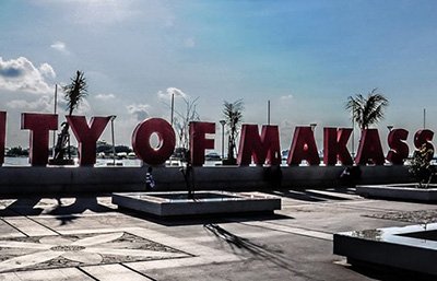
Let us take you through your next-trip to enjoy an exciting tour arrangements within Sulawesi and Indonesia’s Archipelago.
Make this year you come to join our tours to take the advantage of our Special Offer and find the availability within the particular destination you are planning to visit.
Indonesian is a Great Archipelago, and IndoGlobal Adventure team are experts in providing Custom Taylor-made Package Tour thru out Indonesian Archipelago, from East to West.
Our offices are located in several main cities of Indonesia. So that all tours are handle by our Team and not Sub-Agent. Therefore we can provide you with Best Price Guarantee
All package tour are quoted properly that match your requirement, interest and budget. If there is any additional fees that will occurs, we will let you know up front. We dont like Hidden Fees!
Fully licensed by the Government, Banking Account with Company Name, D&B DUNS Registered and many positive Reviews in TripAdvisor. So Book with Confidence!


Whenever you have any requirement about any kind of tours and travel service in INDONESIA, just ask us before finalizing your booking with anyone and compare our rates & services


Subscribe for updates & promotions
Check out our latest Special Offer, valid only for Internet Visitors.
Trans Sulawesi Package Tour (21 Days / 20 Nights)
Special Offer Price: US$ 1,787 / Person (BEST PRICE GUARANTEE!)
Java Bali Overland Tour (23 Days / 22 Nights)
Special Offer Price: US$ 2,678 / Person (CHEAPEST PRICE GUARANTEE!)
Toraja Cultural Package Tour (4 Days / 3 Nights)
Price Start from: US$ 198 / Person

Verified Business thru D&B D-U-N-S. Check our DUNS for verification.
Our website encrypted with SSL with company validation. Read More…


